Cruising the Great Loop?
Don't leave without Navigation Notes!
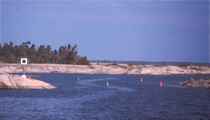
Clear Directions
- Easy to follow mile by mile directions.
- Aids to navigation (buoys and daymarks) are described and you are instructed on what side to pass them.
- Waypoints define the safe route.
- Waypoints may be used by auto-pilot or GPS.
- Over 300 WAYPOINTS to download (included)
Select Stopovers
- A suggested itinerary divides the route into portions that can be cruised in a day with a recommended marina or anchorage at the end of each day.
- Covers the route from Chicago to the Florida Keys then north to Canada and back to Chicago.
- Also includes side trips.
- One book covers entire Great Loop and more!
Bridges and Locks
- This spiral bound book lies flat when open.
- Bridge information includes the radio channel to contact the bridge tender, the bridge name and vertical clearance.
- Lock information includes the radio channel to contact the lock master, the lock name, what lines are required and which side to place your fenders.
- As you approach a bridge or lock, the information you need is conveniently available on the open page.
Disclaimer
- The book was previously offered for sale as a printed copy. However the book is no longer being updated and is being made available here for solely historical purposes. A good captain will consult the US Coast Guard and Canadian Coast Guard for the most up to date information.
- Navigation Notes were intended for vessels having a draft less than 5 feet and bridge clearance less than 20 feet proceeding round the Great Loop in a counterclockwise direction.